Technical Services provides information about the physical campus. From historical drawings and floor plans to space information and mapping, they are the source for any data you may need.
Areas of Focus

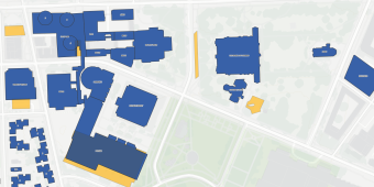
The campus mapping group uses GIS (Geographic Information Systems) to maintain complete, accurate, and detailed maps of Pitt's campus.
Information tracked includes:
• Campus infrastructure including buildings, parking, and utilities
• Campus landscape including trees, lighting, and benches
• Public safety-related elements including emergency phones and AEDs
• Other campus amenities
Each University of Pittsburgh campus map is built with the goal of making information about our University as accessible as possible.

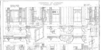
The Technical Services team is responsible for storing and managing historical drawings of buildings and campus infrastructure projects to keep an accurate record of the work that has been done.

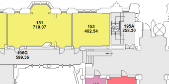
Details about our internal spaces are managed by the Technical Services team using a tool called ARCHIBUS. The following information can be found using ARCHIBUS:
• Current floor plans of all University occupied buildings
• Space Information (e.g. use, occupying departments)
• Space data reports

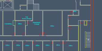
This group provides architectural drafting services for other use cases such as building evacuation plans.
